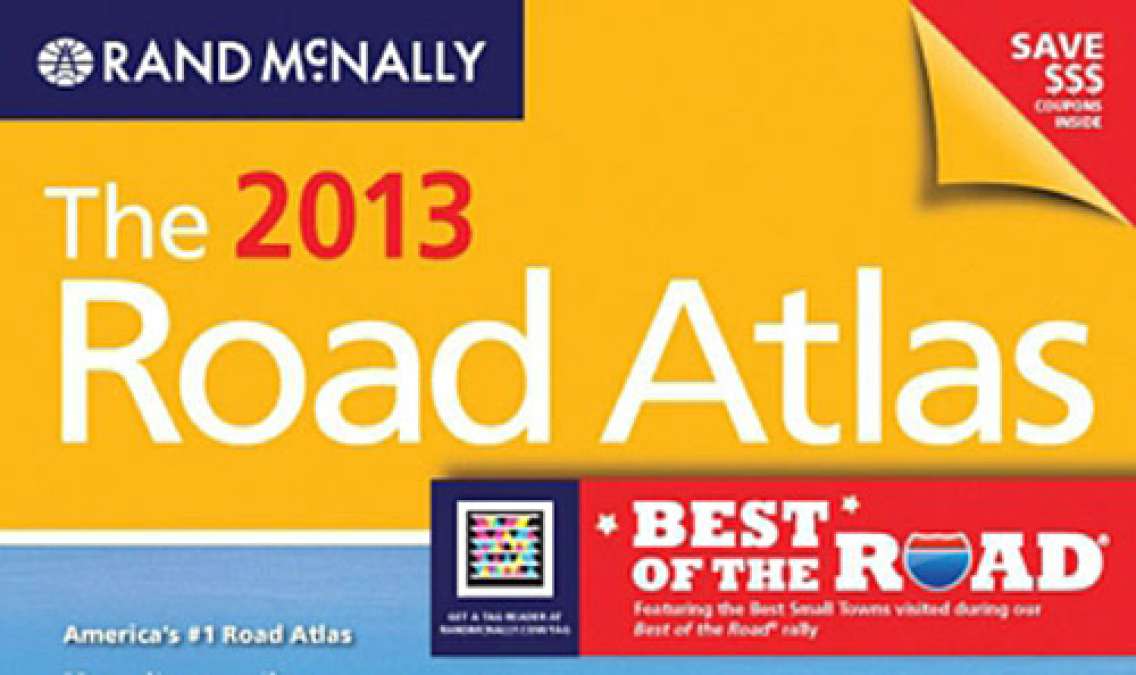
Rand McNally continues to evolve its iconic Road Atlas to meet the demands of an increasingly connected consumer. The 89th edition includes printed web URLs to access detailed destination information as well as mobile tags (also called QR codes) for travelers' smartphones to link to the online Best of the Road community.
What is Best of the Road? Announced by Rand McNally and USA TODAY, bestoftheroad.com is a community of road travelers reviewing the best stops on America's highways, nominating the best small towns, and discussing the points of interest in and between them. Travelers could add a visit to one or more of the nominated locations this summer and experience a uniquely American small town. You can get a free app for your iPhone to find a Best of the Road community wherever you are.
Right now the leader in the competition to be the best is Bardstown, Ky., which is just north of My Old Kentucky Home State Park. It looks to be about 50 miles west of Lexington, Ky., and was nominated for things like free July concerts, a bourbon festival, and a crafts fair.
There are other new things in the atlas this year as well:
• 387 city and park "inset" maps (in addition to state and province maps) – more than ever before;
• Mobile tags that provide instant access to travel videos, state-by-state overviews with suggested road trips, and the new Best of the Road® user review smartphone application. The app facilitates immediate participation in this summer's Best of the Road® program, allowing readers to share destination reviews and best small town nominations at bestoftheroad.com;
• URLs that link to the company for questions and suggestions (randmcnally.com/tellrand), as well as to a full online index (randmcnally.com/index);
• A new website feature giving the stories behind the photos on the covers of the Road Atlas line (randmcnally.com/photostories);
• An overview with photos and text of the Best Small Towns as named by Best of the Road®;
• Discount coupons for hotel stays, restaurants, and attractions often visited on road trips, making this year's atlas a money-saving tool as well.
"Rand McNally's Road Atlas continues to be a market leader and a valuable resource on the road. The 2013 atlas includes more information than ever – print and online – to help travelers plan and travel today," said Dave Muscatel, CEO of Rand McNally, in a news release announcing the 2013 Rand McNally atlas.
Know the best thing about an atlas? They still work even when you have no electricity or cell service.


